After our hike across Jedediah Island, we released our stern-line and
brought up the anchor to continue crossing the Strait of Georgia.
The winds had diminished and the seas held a
2-foot chop with clear skies overhead.
 |
| Mt. Baker in Washington State seen from the Strait of Georgia in British Columbia! |
Another glorious day, in fact it was so clear that we could see across
the entire Strait revealing the mountain peaks of Northern British Columbia and
the mountain backbone of Vancouver Island.
Most unexpected was the sight of Mt. Baker in Washington State seen to
the east on the horizon as if sitting on the water.
It had never been this clear in past years
for us to see this unusual perspective of Mt. Baker, a real treat.
The crossing was uneventful except for the occasional
warnings heard over the VHF Radio that “Whiskey Golf” (WG) was “active” with
Navy warships testing torpedoes and other systems in this deep water “restricted
area.”
One pleasure boat apparently
strayed into the boundary of WG and was promptly told that they would be
escorted out of the area by helicopter.
I think that was the Navy’s polite way of saying we can escort you out
by helicopter or we can blow you out of the area!
We kept well clear of this active restricted
zone located north of Nanaimo and tucked behind the Ballenas Islands, reaching
Nanaimo around 4pm.
 |
| Flat Rocky Shoreline on Newcastle Island, Nanaimo |
Once we reached Nanaimo, we found dock space at the Newcastle Island Provincial Marine Park so we couldn’t pass it
up, Java loves to romp about the Island chasing after her Frisbee; this was her
first opportunity to play with her new Frisbee having given up her old Frisbee to
Buddy, the dog back at Butedale some weeks ago.
It was a hot afternoon so the play was cut short followed by a dip in the
ocean to cool off.
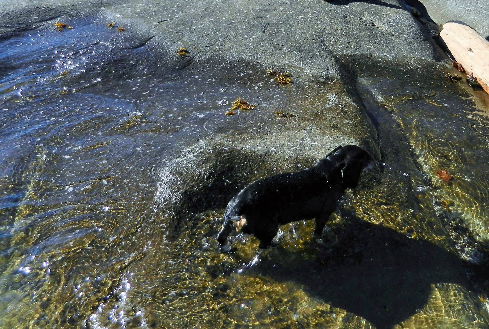
 |
| Java's Seaside Dip in the Ocean |
After Java had her
dinner and bath, it was our turn to take in a favorite stop, The Dinghy Dock
Pub located next door on Protection Island.
Arriving by dinghy at the floating pub is always a treat and you can’t
beat the views of Nanaimo just across the bay.
 |
| The Dinghy Dock Pub |
We enjoyed the usual good beer on tap, the good food, and time to relax
with a nice evening ride back to the boat.
The following day was spent in downtown Nanaimo picking up a few
groceries, getting haircuts, and sipping coffee at one of the many cafes.
Nanaimo is always a fun and vibrant town in
which to spend an afternoon.
Departing
at 8am, we headed for Dodd Narrows arriving at slack water for an easy
transition.
 |
| Dinghy Dock Pub with views of Nanaimo |
We paraded through the
narrow opening with a boat behind us and a boat in front of us while a tug with
a long log-boom waited on the other side for the right time to go
through.
It is customary for boaters,
especially large boats and commercial vessels to announce over the VHF Radio
when they are entering Dodd Narrows indicating their direction of travel.
 |
| Dodd Narrows at Slack Water |
Once through the Narrows we were heading for
our next planned stop, Ganges on Salt Spring Island but first a little
sightseeing along the way.
 |
| Wallace Island Marine Park |
Located
between Galliano Island and the north end of Saltspring Island is a small set of
islands (Secretary Islands) and the Marine Park of Wallace Island with two small
coves that have stern-tie rings.
The
larger of the two coves is Princess Cove which is long and narrow requiring a
stern-tie.
Likewise Conover Cove on the
south end of Wallace Island has a few stern-ties and a small float for boats 36
feet or less.
 |
| Wallace Island Marine Park |
Although Wallace Island is
tiny, it looks to be a fun place to hike and explore.
After a “looksee,” we continued on to Ganges on Salt Spring Island,
the busiest and most popular stop in the Gulf Islands.


No comments:
Post a Comment